Announcement

Due to the COVID-19 pandemic, all our offices are operating on a skeleton workforce. For inquiries, please get in touch with us via the emails listed on our contact page.

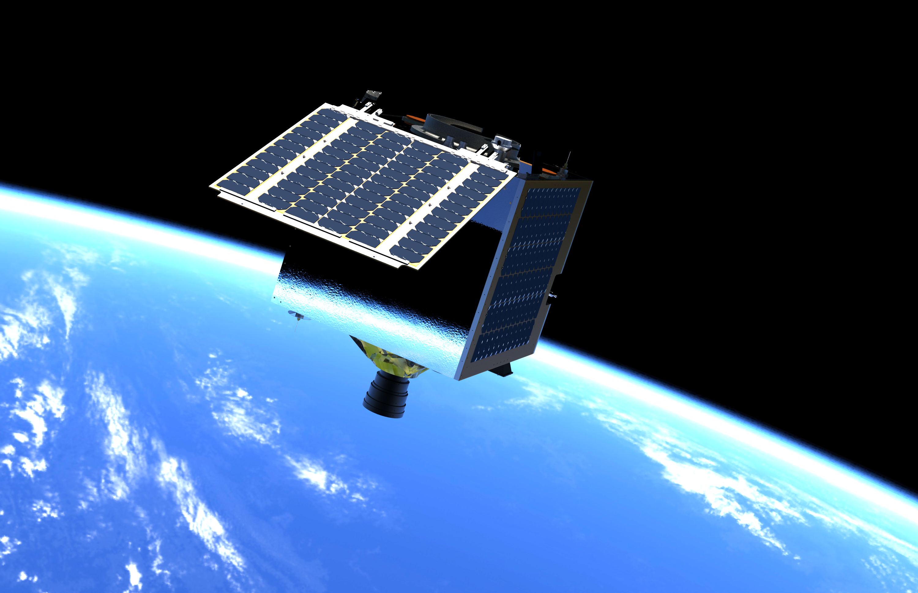
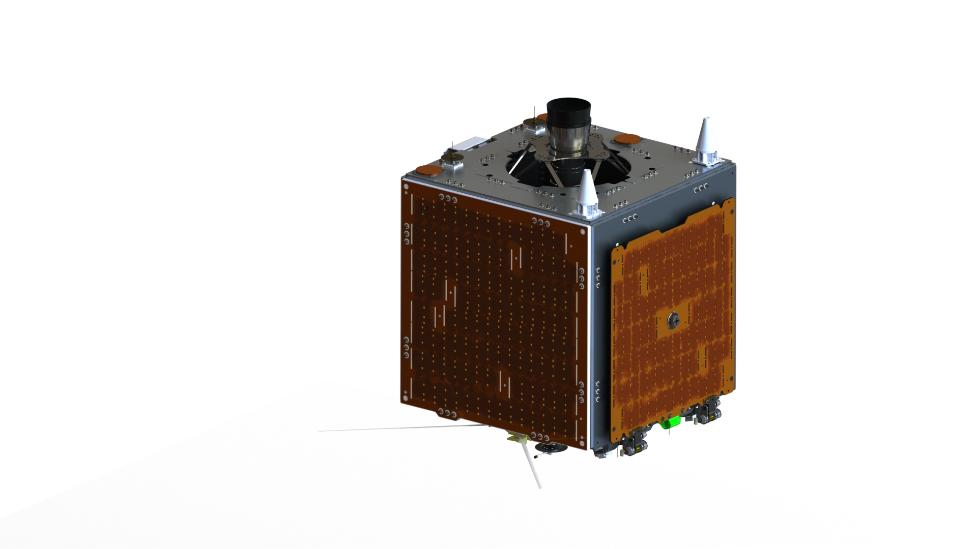
Multispectral Unit for Land Assessment (MULA) is a 130-kg. Earth Observation, commercial-grade satellite being developed and targeted for launch by 2023.It will carry a TrueColor camera capable of capturing 5m resolution operational-quality images with a 120 km swath width, 9 spectral bands that can be used for environmental applications, an Automatic Identification System (AIS), and an Automatic Dependent Surveillance-Broadcast (ADS-B) which can be used for ship and aircraft detection and tracking.
|
Class
|
Small Satellite
|
|
Mass
|
130 kg
|
|
Type
|
Earth Observation
|
|
Payloads
|
|
|
Swath
|
120km
|
|
Bands
|
9
|
|
Mission
|
|
|
Status
|
Under development
|
|
Launch
|
2023
|
December 22, 2020
Advanced Satellite Development and Know-How Transfer for the Philippines (ASP) Project kicks off
January 25, 2021
Start of SSTL System Engineering course (remote)
February 5, 2021
End of SSTL System Engineering course (remote)
January 8, 2021
Start of SSTL subsystem lectures
February 19, 2021
End of SSTL subsystem lectures
April 8, 2021

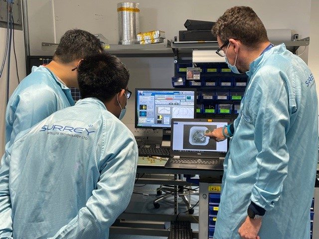
Nine (9) of sixteen (16) MULA engineers leave PH for SSTL training in UK. Photo courtesy of SSTL.
April 26, 2021

MULA passes Qualification Status Review (QSR)
August 16, 2021

Start of MULA Preliminary Design Review (PDR)
August 19, 2021
End of MULA Preliminary Design Review (PDR)
August 21, 2021

Nine (9) of sixteen (16) MULA engineers return to PH from SSTL training in UK MULA at SSTL. Photo courtesy of SSTL.