
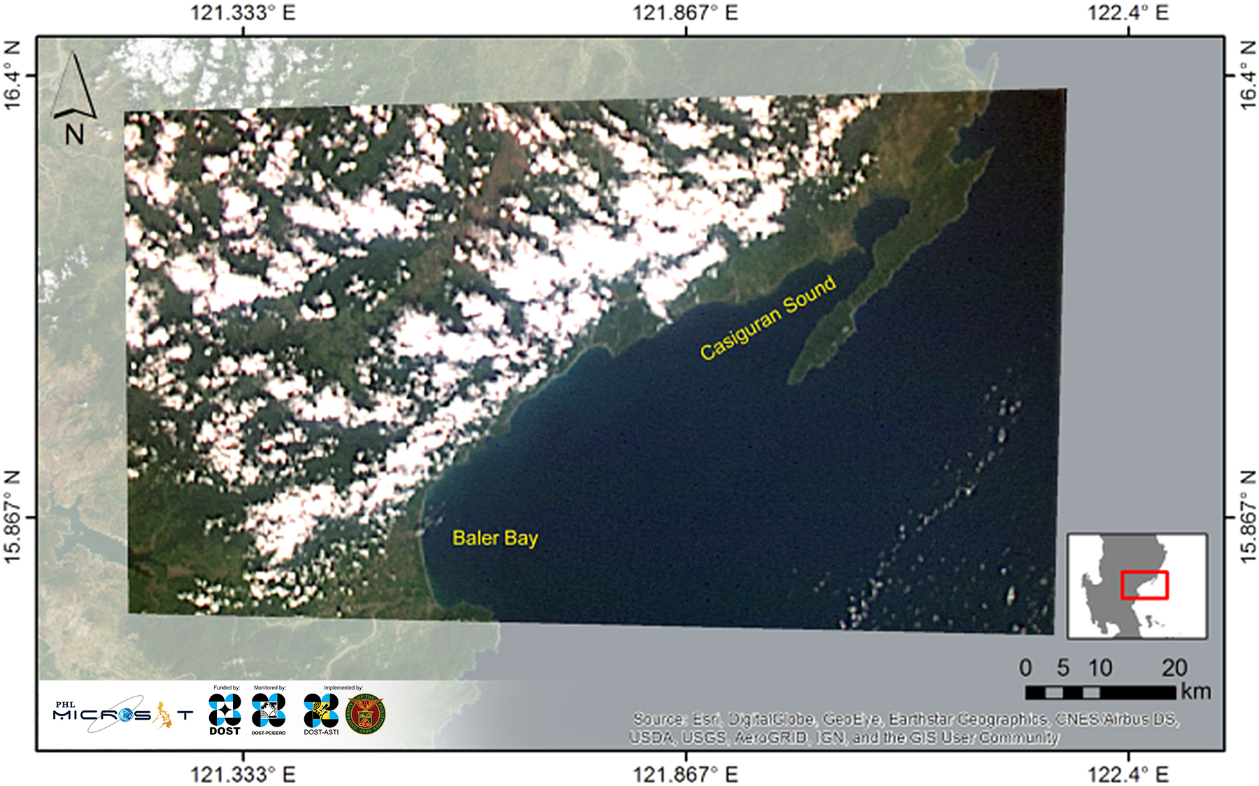
Image captured on November 15, 2018 13:18 PHT using the Spaceborne Multispectral Imager (basemap from ESRI).
The image covers a part of the Casiguran municipality in the Philippines’ Aurora province, as well as the coast along neighboring municipalities Dinalungan and Dipaculao (sparsely obscured with clouds), Baler Bay and the Casiguran Sound. Images of coasts captured through Diwata-2’s cameras can be used to assess coastal conditions which are key indicators for water quality, ecological health and resource management.
Follow us