Announcement

Due to the COVID-19 pandemic, all our offices are operating on a skeleton workforce. For inquiries, please get in touch with us via the emails listed on our contact page.
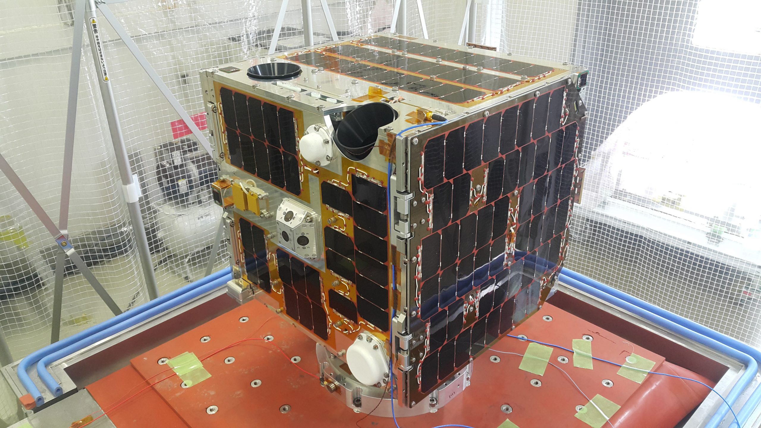
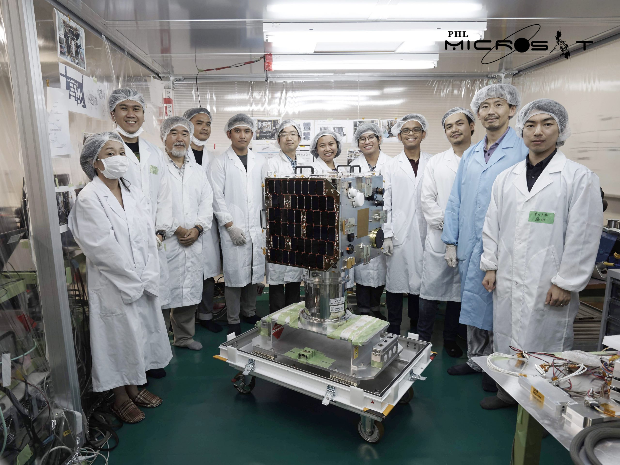
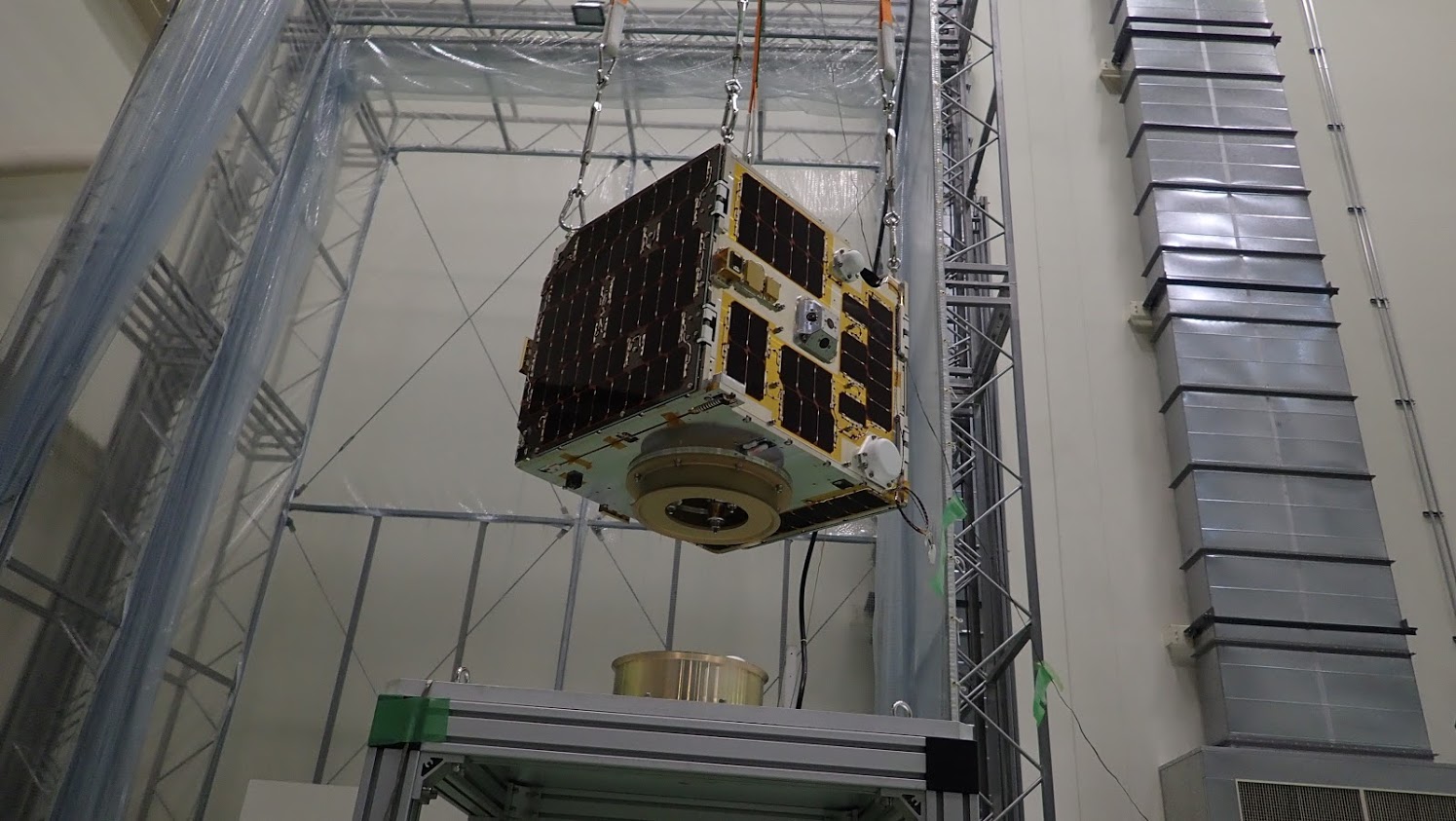
Diwata-2 is the second 50 kg. earth observation microsatellite of the Philippines built by researchers from the University of the Philippines Diliman (UPD) and the Advanced Science and Technology Institute of the Department of Science and Technology (DOST-ASTI) in cooperation with Tohoku University and Hokkaido University in Japan under the Philippine Scientific Earth Observation Microsatellite (PHL-Microsat) Program. It was successfully deployed into 600 km SSO orbit on 29 October 2018 and carries the same optical cameras for scientific earth observation found in Diwata-1. It has since captured over 3,900 images total around the world, over 2,290 of which are of the Philippines (image count as of June 2019). Specifically, improvements in Diwata-2 include an Enhanced Resolution Camera (ERC) for pansharpening images captured by the SMI, experimental modules for attitude determination & sensing, and an experimental amateur radio unit (ARU) which can be used as an alternative mode of communication for emergency response.
Want to know Diwata-2’s location? Try using our Microsatellite Tracker.
|
Class |
Microsatellite (Microsat) |
|
Mass |
57.36 kg |
|
Type |
Earth Observation |
|
Dimensions |
50cm x 50 cm x 50 cm (Stowed State) |
|
Orbit |
Low Earth, Sun-Synchronous |
|
Payloads |
High Precision Telescope (HPT), Spaceborne Multispectral Imager with Liquid Crystal Tunable Filter (SMI w/ LCTF), Middle Field Camera (MFC), Wide Field Camera (WFC), Enhanced Resolution Camera (ERC), Deployable Solar Array Panels (DSAP),
an Amateur Radio Unit (ARU), Zenith Sun Sensor Module (SAS-Z), and an Extentded Attitude Control Unit (ACU-Ex) |
|
Launch |
October 29 2018 Via H-IIA F40 Rocket from Tanegashima Space Center, Japan |
|
Release |
Direct release to space via rocket |
|
Mission |
Environmental and Natural Resource Monitoring
Disaster Response and Management
|
|
Status |
Active (since October 29, 2018) |
January 2017

Start of design phase
September 2017
Start of Engineering Model (EM) development
January 2018
Start of Flight Model (FM) development
August 29, 2018
Diwata-2 Flight Model (FM) completed
Final iteration completed for handoff
August 30, 2018
Flight Model (FM) turned over to Japan Aerospace Exploration Agency (JAXA)
October 29, 2018
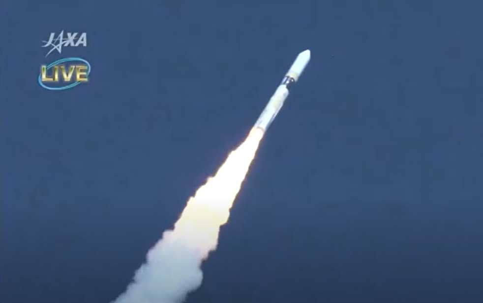
Diwata-2 launched to space
Succesful launched to at 12:08 GMT+08 from the Tanegashima Space Center, Japan via H-IIA F40 rocket.
Watch
First contact
On initial contact established with the Philippine Eearth Data and Resource Observation (PEDRO) Center at 13:52 PHT
October 31, 2018
Diwata-2 status received
Status and vital signs such as fully charged batteries, normal power consumption, and good communication link received
November 14, 2018

First images of Philippines captured
Images captured by onboard High Precision Telescope (HPT) include parts of Tabuk, Kalinga, (image above)
April 11, 2019
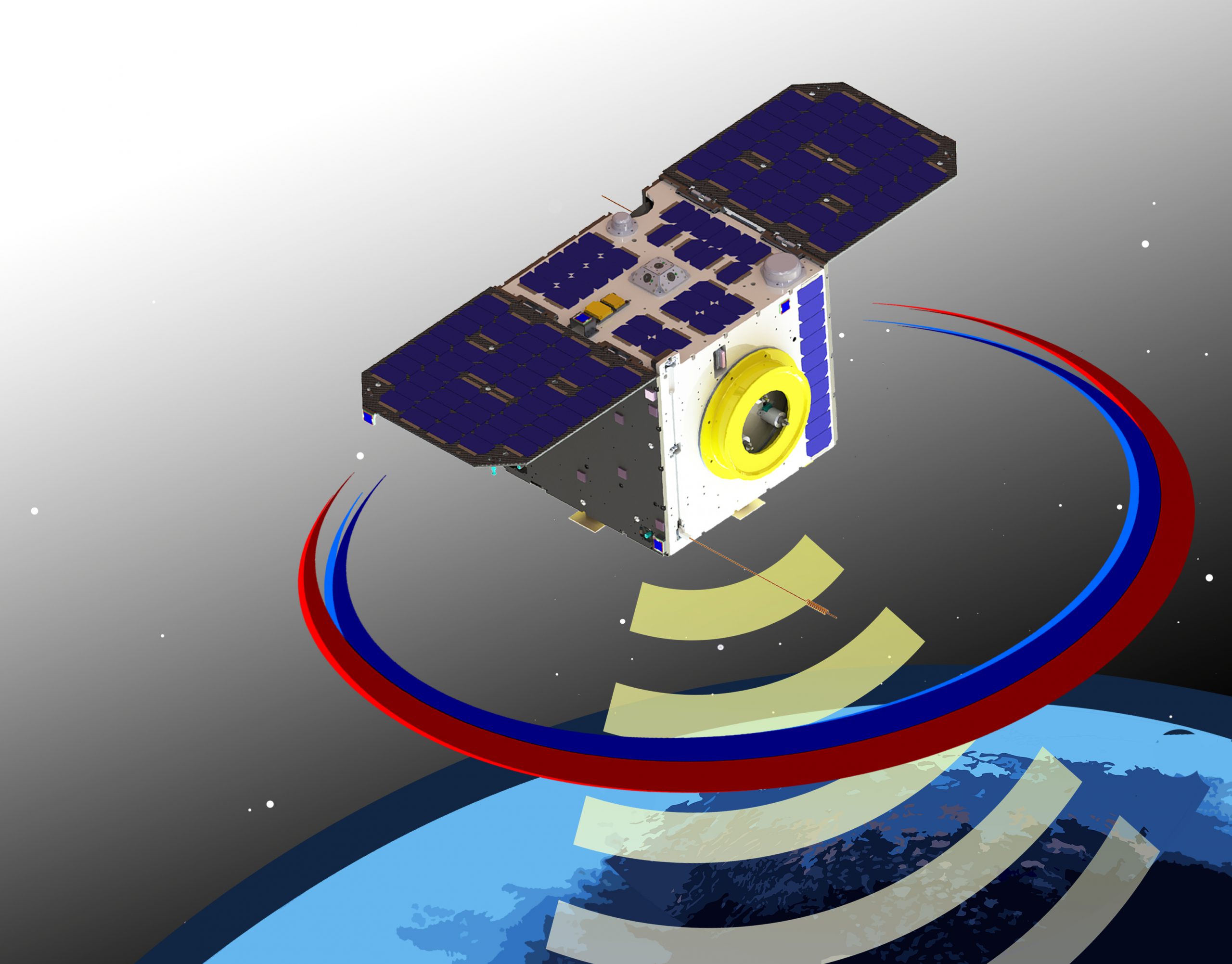
AMSAT designates Diwata-2 Amateur Radio Unit (ARU) as Philippines-OSCAR 101 (PO-101)
Learn More
April 26, 2019
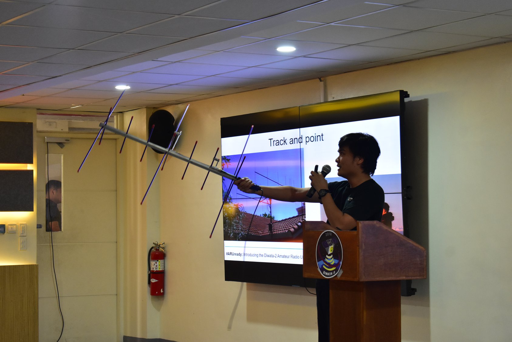
PO-101 announced ready for service
Diwata-2’s Amateur Radio Unit (ARU), PO-101, can now accessible to licensed amateur radio users worldwide
Watch video
October 31, 2019
Diwata-2 launch to space 1st anniversary
STAMINA4Space marks day with media event themed “Translating knowledge into local technologies and applications”